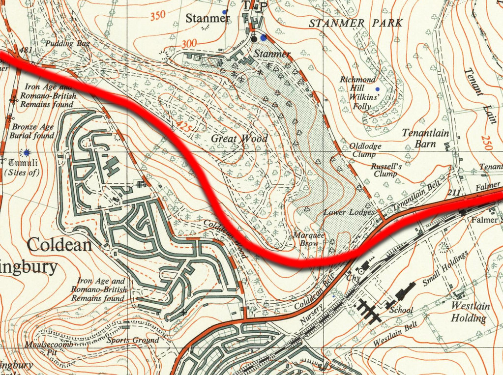
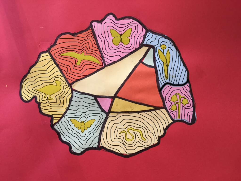
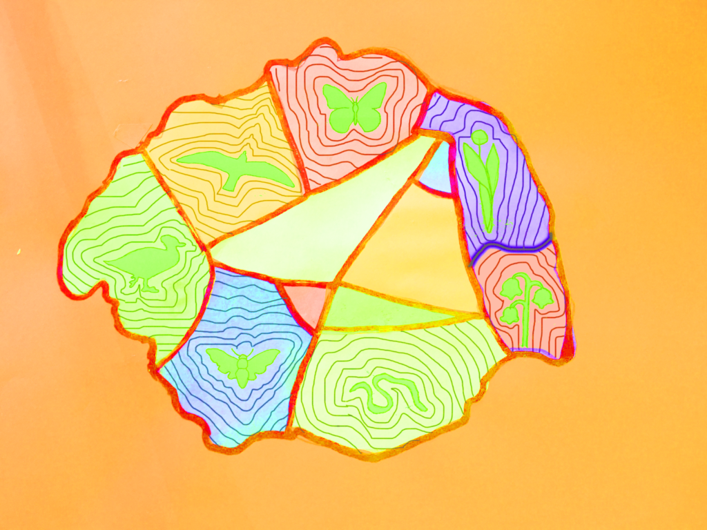
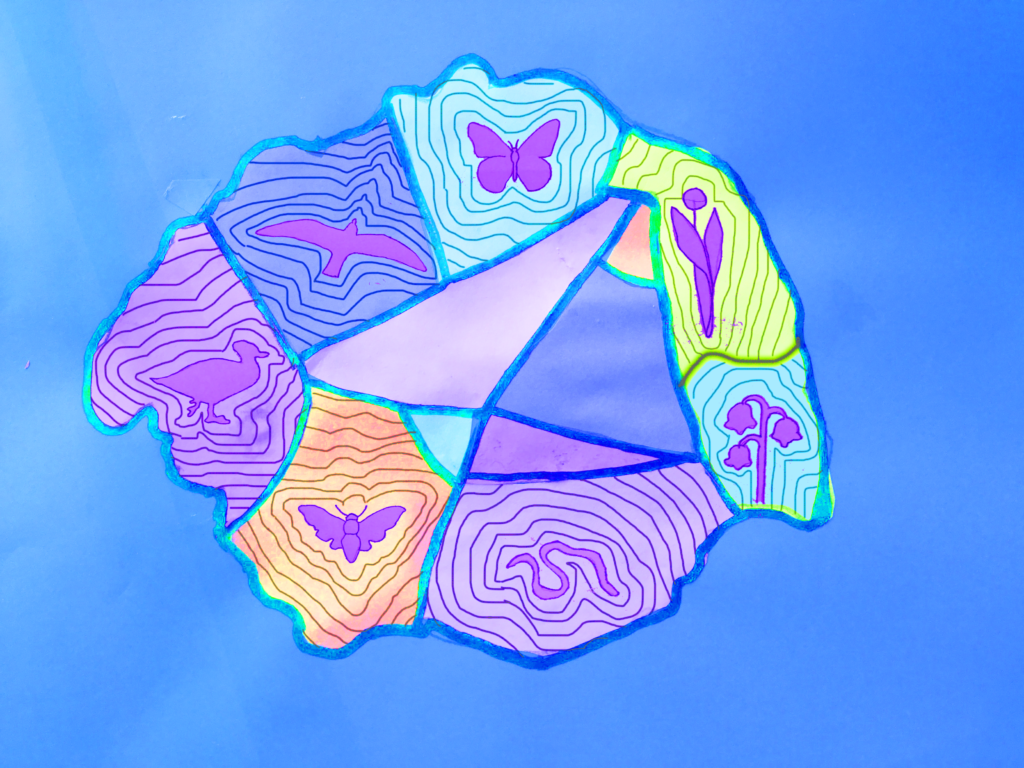
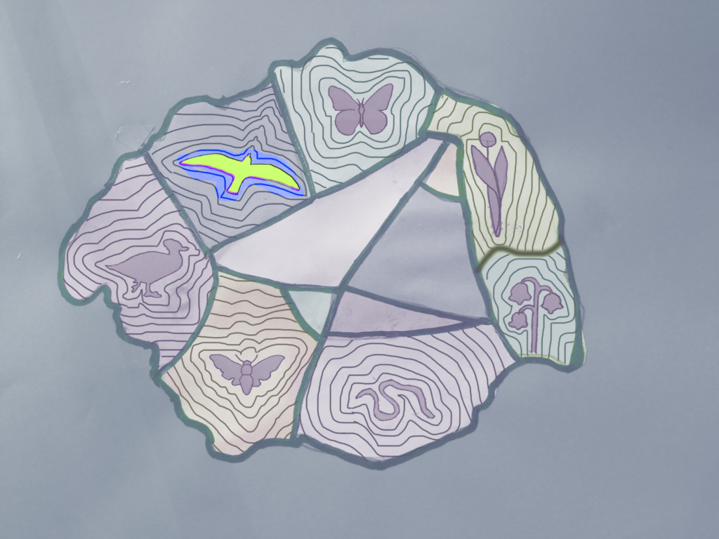
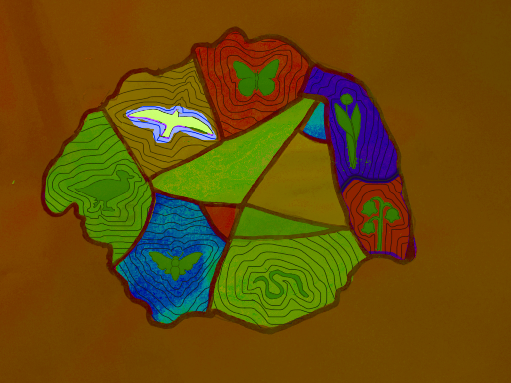
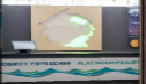
Exploring ways to etch and present the flora & fauna data, we started to think about ordinance survey contours and how they present relief areas in the landscape. We are now thinking could we use contours and light intensity to represent quantity of flora & fauna on island?


0 Comments